This website will chronicle in map and photograph the fast disappearing rural remnants of the route 50 corridor, also known as Lee Jackson Memorial Highway.
I plan to go out and take pictures of this threatened heritage, and use GPS to mark the location of the sites for plotting on a map using ArcMap.
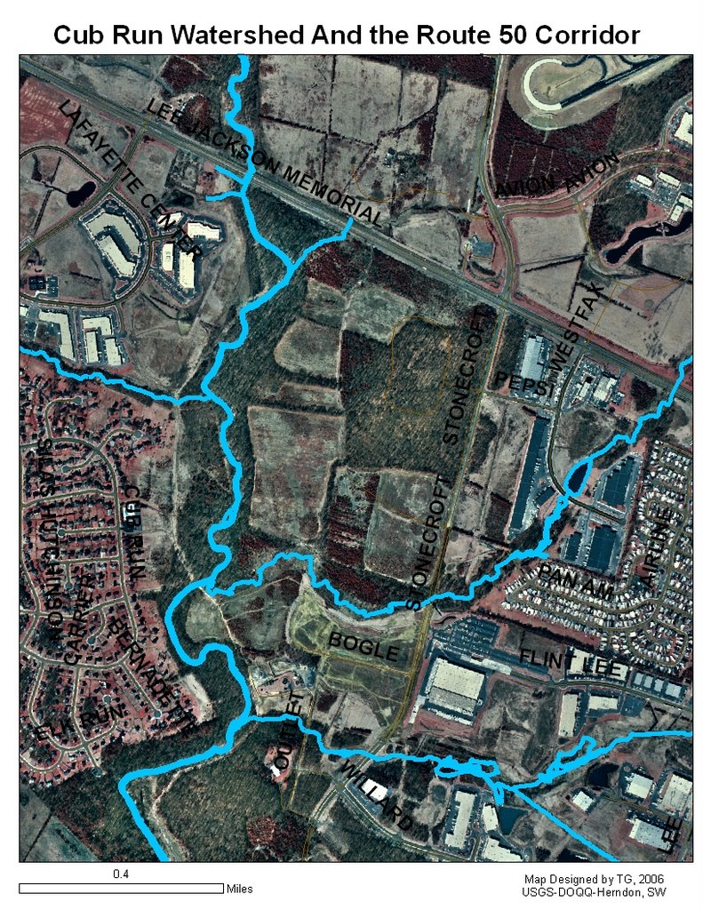
Until I can get out, here is a USGS orthoquad of the corridor near the Loudoun County line. I have highlighted the Cub Run stream system as a visual reference marker.
This aerial photo is from 1998. Much has changed. There is little open space left in this area now.


2 comments:
How do you get that "blog archive"?
I figured it out, by the way. Sorry I keep leaving random messages here. . .
Post a Comment