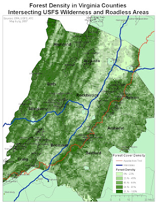
I will be doing a research project this semester identifying potential habitat for a red-wolf introduction to western Virginia.
This map is a general reference for a much, much more detailed analysis.
The forest data is derived from an EPA raster image of the US, converted to polygons then clipped to counties in Virginia that intersect USFS wilderness areas.
On this map I also included roadless areas identified by the Clinton Admin. Roadless Lands Initiative. These roadless zones are areas current VA governor Tim Kaine intends to protect.
Each grid square represents 1055 feet by 1055 feet (I think-the metadata is vague).
Click the pic to see it clearly.


No comments:
Post a Comment